Marshall Islands explained to kids
The Marshall Islands are a group of 29 low-lying coral atolls and 5 single coral islands in the western Pacific Ocean, located between Hawaii and the Philippines. They stretch over an area of about 750,000 square kilometers (290,000 square miles) and are home to a population of about 53,000 people.
The Marshall Islands were first settled by humans around 2,000 years ago. The first Europeans to visit the islands were Spanish explorers in the 16th century. The Marshall Islands were named after British explorer John Marshall, who visited the islands in 1788.
The Marshall Islands were formerly a part of the Trust Territory of the Pacific Islands, which was administered by the United States from 1947 to 1986. The Marshall Islands became an independent nation in 1986 and signed a Compact of Free Association with the United States in 1986, which granted the Marshall Islands certain financial and military assistance from the United States.
The Marshall Islands are located in the path of typhoons, and the islands were devastated by Typhoon Bopha in 2012 and Typhoon Haiyan in 2013. The Marshall Islands are also vulnerable to rising sea levels due to climate change, which is causing the oceans to warm and the ice caps to melt.
The Marshall Islands are a beautiful and unique place, and we hope that you will have the opportunity to visit them someday!
Unlock this content and learn more about Marshall Islands and much more on Nimblo!
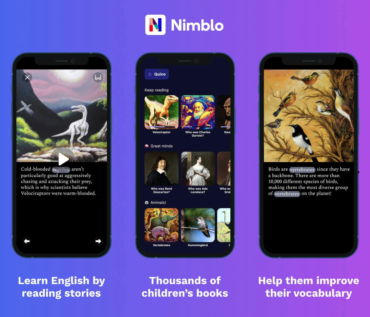
Learn English vocabulary by reading interesting stories on Nimblo.
- Built-in dictionary
- Beautiful illustrations
- Thousands of stories
- Narrated

Download for iPhone and iPad

Download for Android