Solomon Islands explained to kids
The Solomon Islands are a sovereign state in Oceania, located in the southwestern Pacific Ocean. The archipelago consists of six major islands and over 900 smaller islands, spread over an area of 28,400 square kilometers. The capital city and largest settlement is Honiara, located on the island of Guadalcanal.
The Solomon Islands are thought to have been inhabited by humans for over 30,000 years. The first Europeans to visit the islands were the Spanish, who arrived in 1568. The British established a protectorate over the Solomon Islands in the late 19th century, and the islands became a Crown colony in 1900. The Solomons served as a strategic location during World War II, and were the site of several major battles between the Allied and Japanese forces.
The Solomon Islands gained independence from the UK in 1978, and have been a member of the Commonwealth since then. The country is a constitutional monarchy, with Queen Elizabeth II as the head of state. The Solomons are a relatively poor country, with a GDP per capita of only US$2,170 in 2017. The majority of the population (85%) live in rural areas, and subsistence agriculture is the main economic activity. Fishing, forestry, and mining are also important economic sectors.
The Solomon Islands are located in the Pacific “Ring of Fire” and are prone to earthquakes and volcanic eruptions. In April 2007, a major earthquake and tsunami caused widespread damage and loss of life on the island of Guadalcanal. The Solomon Islands are also vulnerable to environmental issues such as deforestation and overfishing.
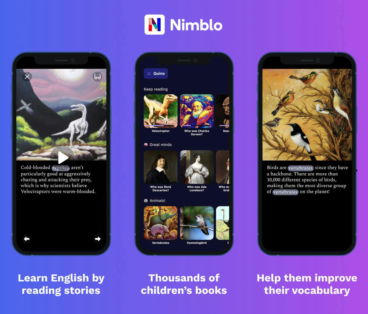
Unlock this content and learn more about Solomon Islands and much more on Nimblo!
Learn English vocabulary by reading interesting stories on Nimblo.
- Built-in dictionary
- Beautiful illustrations
- Thousands of stories
- Narrated

Download for iPhone and iPad

Download for Android